


ECHOMAP™ UHD2 9″ Chartplotters 93sv with GT56UHD-TM Transducer and Garmin Navionics+ U.S. Inland Mapping
$1,199.99
KNOW THE WATER BETTER THAN A LOCAL
When it comes to catching more fish, they say, “Talk to a local.” With the ECHOMAP UHD2 chartplotter, which offers our best-in-class sonar and mapping and premium touchscreen display with keyed-assist, you’ll know the water even better than they do.
The bright 6”, 7” or 9” touchscreen display with keyed-assist is user-friendly and easy to read.
Good things come in threes. Three sonar types, that is: Garmin traditional, ClearVü™ and SideVü™ sonars.
Improved detail? Check. Distinguished targets? Yep. That’s the beauty of high-contrast vivid color palettes.
If you’re running another ECHOMAP UHD2 chartplotter, you can wirelessly share sonar, waypoints and routes.
Want our best in mapping? Who doesn’t? Select chartplotters come with Garmin Navionics+™ mapping.
Specs
Physical & Performance
| Display Size | 7.8″ x 4.5″, 9.0″ (19.8 x 11.5 cm, 22.9 cm) |
| Power Input | 9 to 18 Vdc |
| Display resolution | 1024 x 600 pixels |
| GPS | Yes |
| Dimension | 10.4″ x 6.5″ x 3.2″ (26.4 x 16.6 x 8.0 cm) |
| Receiver | 10 Hz |
| Waterproof | IPX7 |
| Weight | 2.9 lbs (1.3 kg) |
| Mounting Options | Bail or flush |
| Display Type | WSVGA, TN |
Maps & Navigation
| Garmin Navionics+ (Coastal) | yes (see Additional) |
| Garmin Navionics Vision+™ | Yes |
| Accepts Data Cards | 1 microSD™ card; 32 GB maximum size |
| Garmin Navionics+ Inland & Coastal | yes (see Additional) |
| Garmin Navionics+ (Inland) | yes (see Additional) |
| Navigation Routes | 100 |
| Garmin Navionics+™ | Yes |
Features
| Waypoints | 5,000 |
| Sailing Features | Yes |
| NMEA 0183 Compatible | No |
| Has built-in receiver | Yes |
| USB ports | No |
| TOPO | Yes |
| SideVü | built-in 260/455/800/1000/1200 kHz |
| DSC | Yes |
| Touchscreen | Yes |
| Additional |
|
| LakeVü g3 Ultra | No |
| NMEA 2000 Compatible | Yes |
| ActiveCaptain® compatible | yes |
| Typical current draw at 12 Vdc | 1.72 A |
| NMEA 2000® ports | yes |
| Tide tables | yes (see Additional) |
| GLONASS | Yes |
| Track points | 50,000 |
| Panoptix™ sonar | Yes |
| Garmin Marine Network Ports | 1 |
| LakeVü g3 | No |
| Supports WAAS | Yes |
| GSD Black Box Sonar Support | No |
| Maximum current draw at 12 Vdc | 3.5 A |
| Smart Mode Compatible | No |
| Built-in Auto Guidance | No |
| Maximum power usage at 10 Vdc | 20.7W |
| BlueChart g3 | No |
| Standard Mapping | Yes |
| LakeVu (inland) | No |
| Built-in Auto Guidance+ | yes (downloadable via ActiveCaptain app) |
| Displays sonar | Yes |
| ANT+ (Connectivity) | Yes |
| GCV Black Box Sonar Support | No |
| BNC external GPS antenna port | No |
| Spoken audio alerts | No |
| BlueChart g3 Vision | No |
| Garmin Wi-Fi network (local connection) | Yes |
| Input | Touchscreen with Keyed Assist |
| BeiDou | Yes |
| Garmin Quickdraw Contours | Yes |
| BLUETOOTH® pairing | Yes |
| AIS | Yes |
| Supports multi-band, multi-constellation GPS | Yes |
| Raster chart support | No |
| OneHelm support | No |
| ClearVü | built-in 260/455/800/1000/1200 kHz |
| Tracks | 50 saved tracks |
| Wireless Remote Compatible | No |
| Supports Fusion-Link™ compatible radios | Yes |
| Galileo | Yes |
| LiveScope | Yes |
| Power output | 500 W |
| 12-pin transducer ports | 1 |
| BlueChart (coastal) | No |
| Traditional sonar (dual frequency/beam) | built-in (single channel CHIRP, 50/77/83/200 kHz, L, M, H CHIRP) |
| GRID (Garmin Remote Input Device) compatible | No |
In the Box
With Transducer
- ECHOMAP UHD2 (device varies depending on selection)
- GT56-TM transducer
- Power cable
- Tilt mount with quick-release cradle
- Protective cover
- Hardware
- Documentation
Only logged in customers who have purchased this product may leave a review.
Related products
-
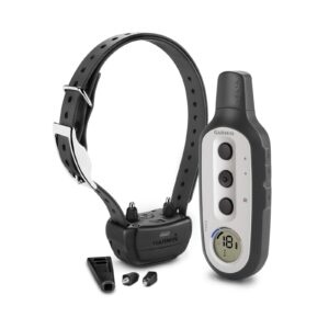 Delta XC Bundle (up to 3 dogs) From: $169.99
 -
-
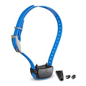
 PT10 Training Collar From: $149.99
 -
 Delta Smart Training System Bundle From: $179.99
 -
 T5 Mini GPS Tracking Collar From: $249.99
 -
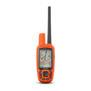 Astro 430 $449.99
Reviews
There are no reviews yet.